
What we do
Services built around the shot you need.
A feature-film aerial unit. A ranch that has to be felt. A finished edit. Serving all of Texas — with a focus on Central and South-Central Texas (Caldwell, Gonzales, Goliad and the I-35 corridor, plus Hays, Bastrop and Williamson counties).
Aerial cinematography
We take pride in being more than drone cinematographers. As pioneers in the aerial field, we’ve worked closely with filmmakers, directors, and producers to bring cinematic visions to new heights — quite literally. Our journey spans over a decade, and our commitment to excellence has only strengthened with time.
We understand the nuances of film production, collaborating seamlessly to capture breathtaking aerial scenes. Our work has graced numerous productions — from epic landscape reveals to high-energy action.
- Epic landscape reveals & establishing shots
- Dynamic action sequences & chase work
- FPV & high-energy cinematic flight
- Second-unit support on feature & commercial sets
- Color-graded, story-first deliverables
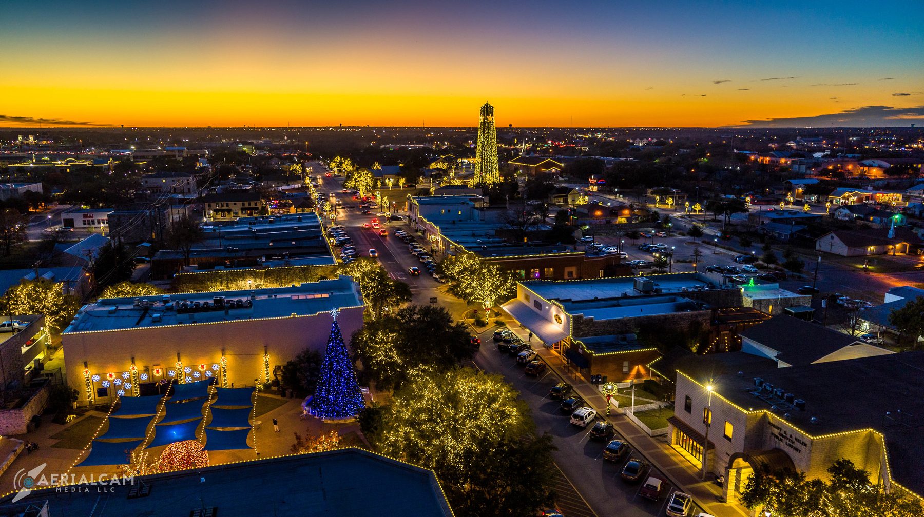
Land, ranch & real estate media
Step into extraordinary real estate visuals. With a legacy dating back to 2008, our expertise goes beyond the ordinary, elevating the representation of land, ranches, commercial real estate, and residential properties. For sprawling tracts, our aerial perspectives provide a comprehensive view of the landscape — water, soil, access, and the features that make a property stand out.
For homes, from suburban charm to luxury estates, we create visually stunning presentations that resonate with homebuyers — paired with polished ground photography, professional full-frame and RAW capture, color grading with natural grass and foliage enhancement, and boundary-overlay imagery.
- Homesite, hunting & large-acreage listings
- Commercial & industrial developments
- Twilight & HDR ground coverage to pair with aerials
- Property-boundary overlay & context shots
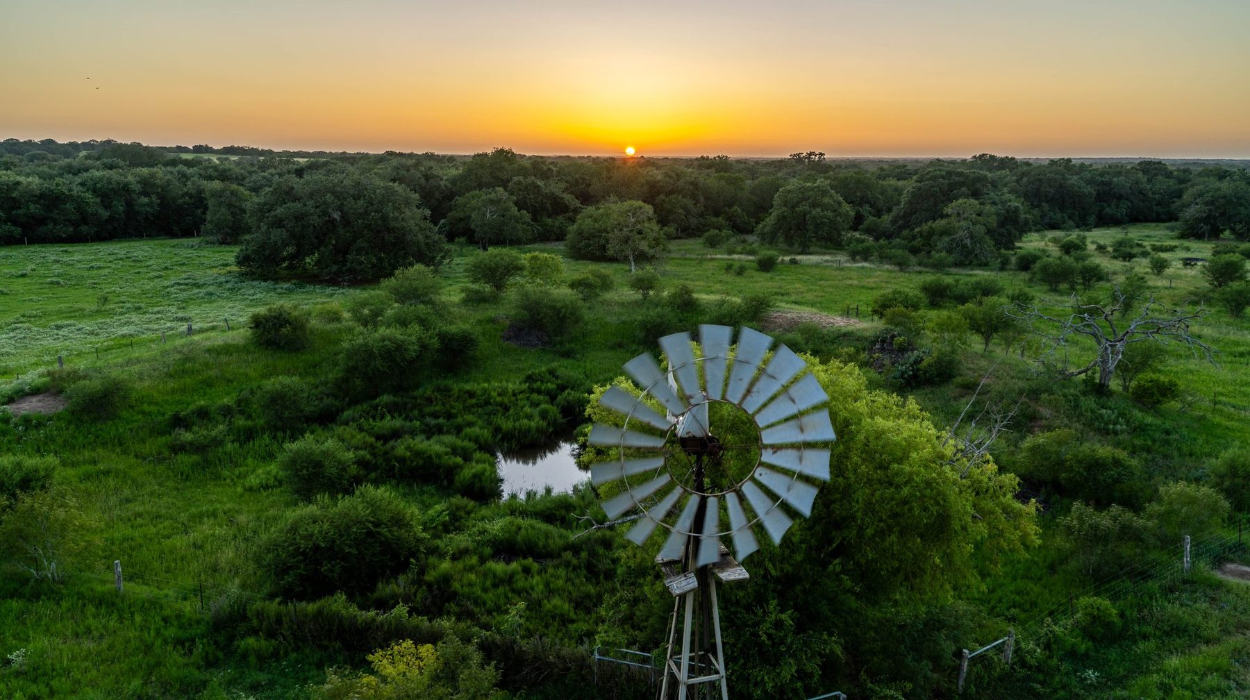
Beyond boundaries
We extend our creative wings beyond the horizon with specialized services tailored to your project: precision photogrammetry for detailed mapping, immersive panoramic views, and the exhilarating experience of FPV flight. Our commitment extends to the edit, where our team transforms captured footage into stunning, cinematic videos — seamless transitions, licensed sound, a finished product that exceeds expectations.
- Photogrammetry & precision mapping
- FPV & high-energy dynamic flight
- Twilight / sunset coverage & timelapse
- Panoramic & immersive captures
- Full editing, color & sound finishing
Packages — quoted per project
Choose your scope. We’ll quote the job.
Every job is custom — acreage, structures, travel and delivery set the price, and big productions get a day rate. Here’s the typical shape of a scope, and where a conversation starts.
Photo Only
Polished ground + aerial imagery for when stills are all the listing needs. Up to 1 hour on site, full-frame RAW capture, color grading with natural grass & foliage enhancement, one aerial boundary-overlay image, high-res JPG delivery for MLS, web and social.
Photo + Video
One coordinated session, a complete visual story: professional ground photography plus a cinematic property video — up to 60-seconds, color-graded and stabilized, property-boundary animation, up to 6 lower-thirds, logo outro and licensed soundtrack. Includes an agent promo low-flyover and on-site voiceover recording, at no extra charge.
Twilight / Sunset
The property in the soft, emotional light of golden hour. Timing coordination for peak conditions, ground + aerial during the window, warm tone balancing and horizon correction. The strong hero image for luxury homes, scenic ranches and hilltop views.
Timelapse
Movement across the property — drifting clouds, changing light, the run into sunset. High-res stabilized capture, aerial hyperlapse when conditions allow, professional editing for intros, transitions and social posts.
Day rates & multi-day
Film, TV, commercial and event projects are scoped as day blocks — single-day and multi-day packages that include gear, licensing and revisions. Tell us the shoot window and what you’re trying to make.
Every quote is all-in
Final pricing is set per project. Travel beyond 30 minutes from our home base is always disclosed up front — as are tolls, special access and lodging, quoted before you book, never after.
Good to know
Large ranches, multiple structures or specialty animation are quoted case by case. Property-boundary graphics are marketing tools built from your maps or parcel info — not a legal survey. Drone work is subject to weather and airspace authorization.
Let’s scope your flight.
Serving all of Texas — with a focus on Central and South-Central Texas (Caldwell, Gonzales, Goliad and the I-35 corridor, plus Hays, Bastrop and Williamson counties).
FAQ — booking questions
The most-booked questions, answered straight.
What agents, producers and property owners ask before we fly — answered so you can book with confidence.
Where do you fly in Texas?
All of Texas, with a focus on Central and South-Central: Caldwell, Gonzales, Goliad, Hays and Bastrop counties and the I-35 corridor (San Antonio, Austin and the ranch country in between). Film, TV and commercial productions travel statewide, and travel beyond 30 minutes of our home base is always quoted up front.
Do you have day rates for film, TV or commercial work?
Yes. Productions are scoped as day blocks — single-day and multi-day — that include gear, licensing and revisions. Send the shoot window and what the shot is for, and we build the quote around it.
What is included in a real estate media package?
A coordinated on-site session: professional ground photography plus a cinematic aerial video, color-graded and stabilized, with a property-boundary animation, lower-thirds, licensed soundtrack and an agent low-flyover. Twilight and timelapse are add-ons. Pricing is per property — acreage, structures and travel set the quote.
Are the pilots licensed, and is the company insured?
Yes to both. Every pilot is FAA Part 107 certified and Aerialcam Media is insured for each job. We plan safety first, and flights remain subject to weather and airspace authorization.
What is a property boundary overlay, and is it a legal survey?
It is a marketing graphic built from your maps or parcel information so a listing shows its extent at a glance. It is not a legal survey — for that, your surveyor covers it. Our overlays are designed to sell the acreage, not to replace the plat.
How fast can you be on site after I talk to you?
Typically within days for Central and South-Central Texas. We lock a weather-and-airspace-confirmed window together after the quote, and we rebook you before the next good window if conditions are off.
Do you handle airspace, authorizations and site access?
Yes. We prepare our FAA Part 107 launch package, request controlled-airspace authorizations where needed, and confirm site access ahead of the flight. One point of contact from inquiry to delivery.
What do I get after the flight, and how fast?
A delivery of curated high-resolution stills and a color-graded, story-edited video with licensed music and lower-thirds, sized for MLS, web, social and print. Most real estate packages ship in the 3-5 business day window we quote.
Do you fly at night, at events, or over water?
Night work, stadium lighting, event capture and coastal water (with a safety plan) are core strengths. If it can be captured and flown safely, we have probably done it before.